Arkansas
- 1200 feet
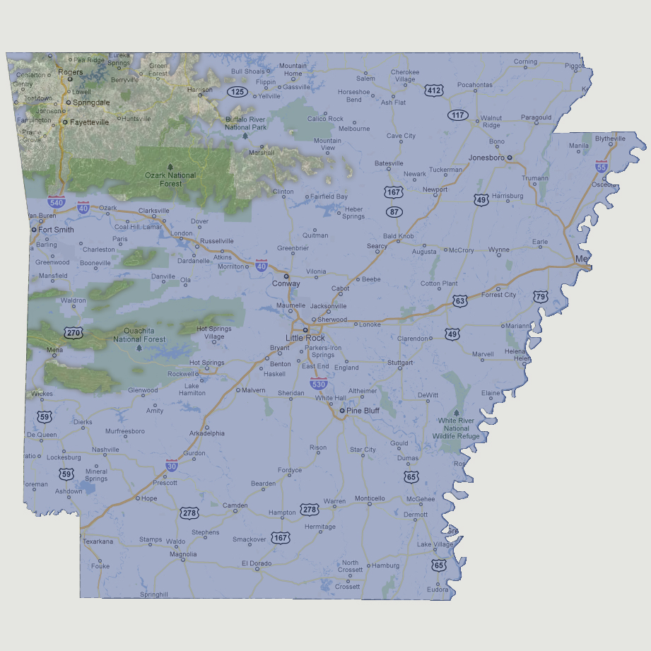
The
Ouachita National Forest is now a chain of 6 islands, the largest is about
30 square miles. North of Interstate 40, Fayetteville, Springdale and
Rogers are above water along with most of the Ozark National Forest.
© 2012