Colorado
- 7,500 feet
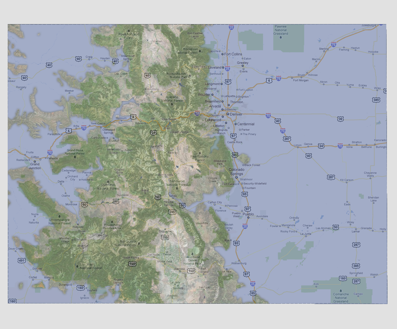
At
7,500 feet of sea level rise, most of the Continental US is underwater.
The Rocky Mountains down the center of the state make up the visible land
mass with more flooding from both the west and east. Rivers and tributaries
on the western side of the state have come inland as far as Edwards, Steamboat
Springs and Pagosa Springs.
© 2012