Iowa
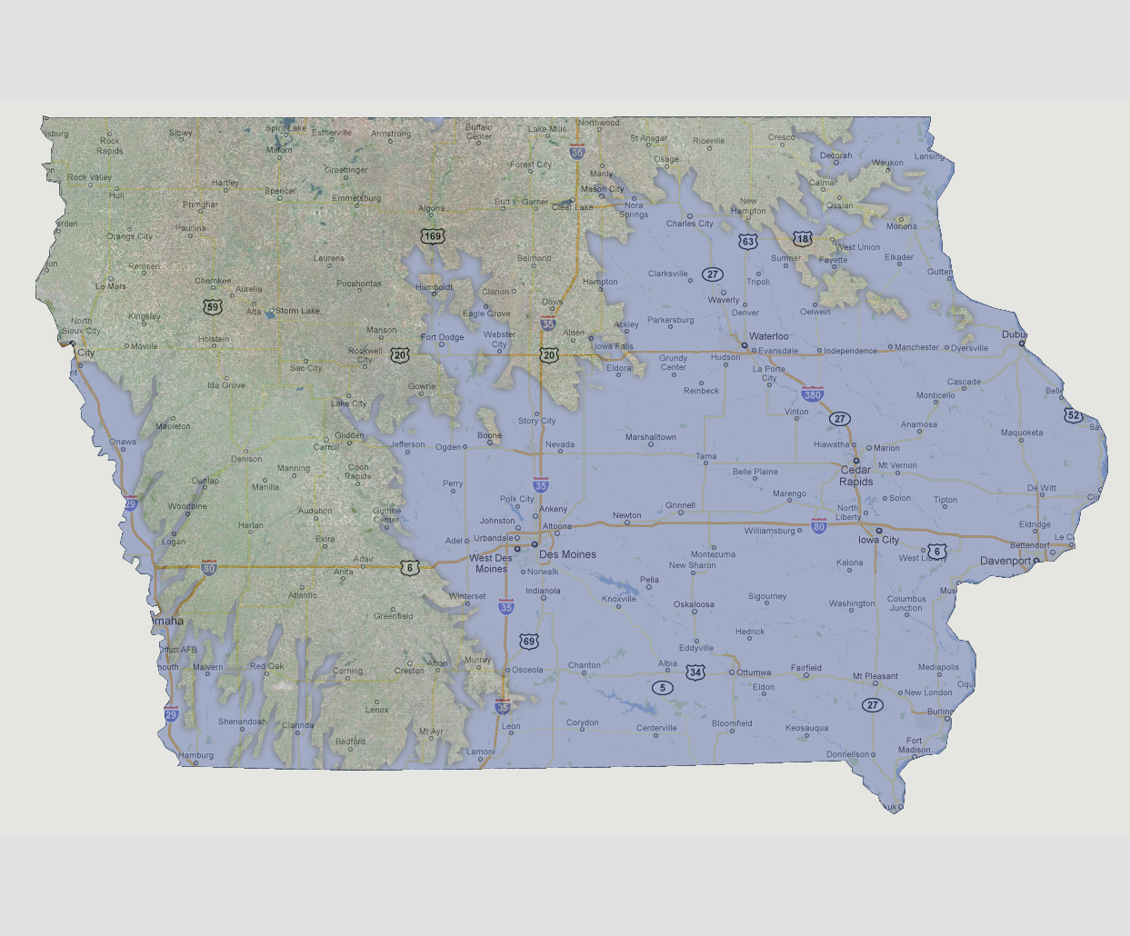
- 1200 feet
With
Iowa being a fairly flat state, flooding area increases dramatically between
600 and 1200 feet of sea level rise. The eastern half of the state (basically
east of Interstate 35) would be underwater. Some areas in the north would
be spared such as Cresco, Ossian and New Hampton. The state capital of
Des Moines and surrounding are all underwater. At this point the Missouri
River is also flooding in the western portions of the state along Interstate
95. Affected areas include Hamburg, Omaha, Onawa and Sioux City.
© 2012