Idaho
- 1200 feet
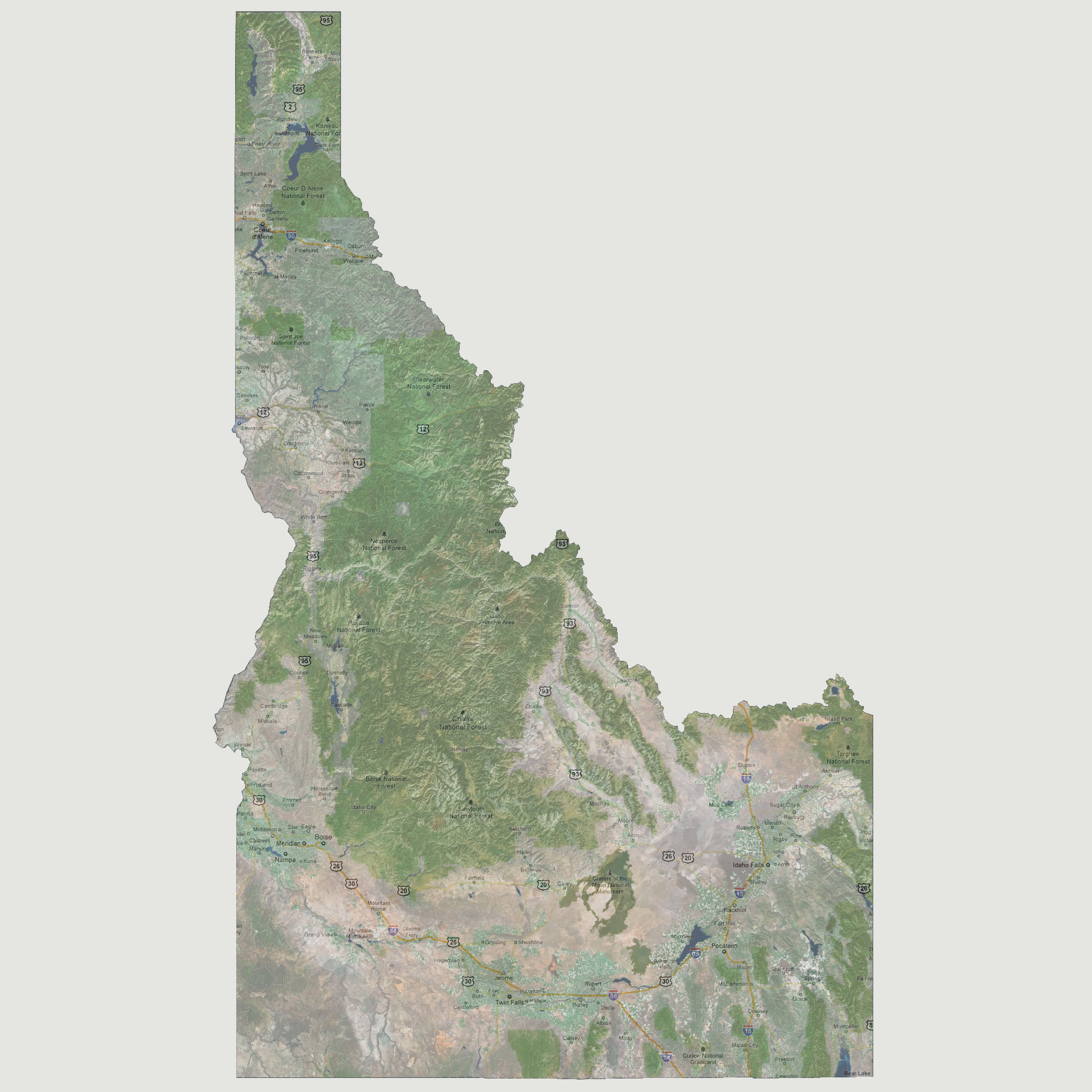
The
lowest point in Idaho is along the Snake River on the Washington border
near Lewiston. At 1200 feet of sea level rise, most of Lewiston would
be inundated.
© 2012
|
|
Idaho
- 1200 feet |
| Select Sea Level Rise (in feet): | |
| To
use the map above, select the ocean level rise you would like to view, use
the plus and minus keys on the keyboard or the mousewheel to zoom in and
out. Click and drag on the map to change the viewing location.
© 2012 |