Louisiana
- 300 feet
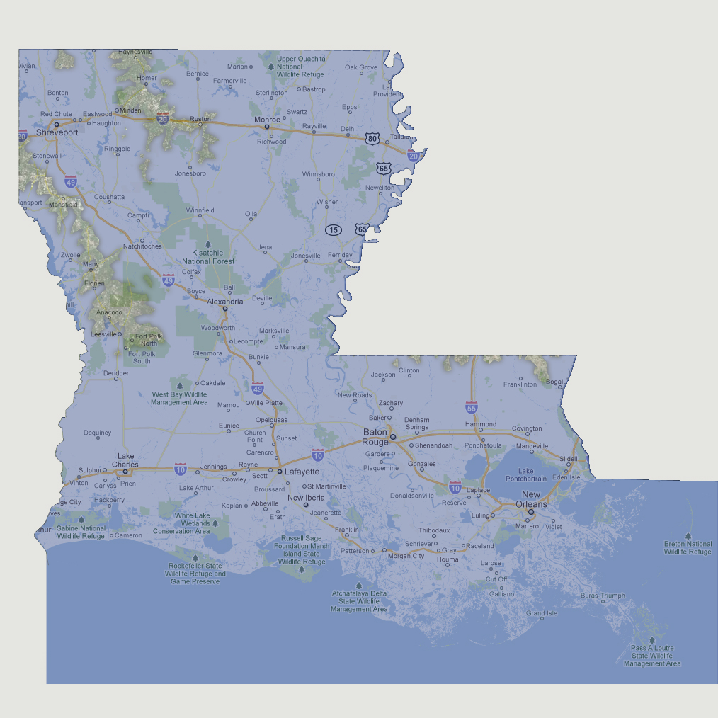
Only
a few slender land masses are visible above the sea level. These include
some small islands on the southern Mississippi border, a long peninsula
from Mansfield down to Fort Polk and another peninsula from Haynesville
south to Ruston. This area includes the highest point in Louisiana, Driskill
Mountain at 535 feet above sea level.
© 2012