Massachusetts
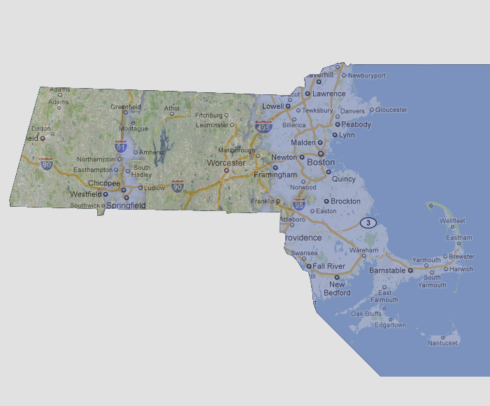
- 300 feet
The
Atlantic would come inland fairly evenly and inundating Framingham, Newton
and Lowell. Almost all of Interstate 495 is underwater. The Connecticut
River (for slower rises) would be widened immensely in the lower half
of the state covering Westfield to Ludlow and would be breaking banks
throughout the entire state inundating river towns as far up as Greenfield.
© 2012