Tennessee
- 1800 feet
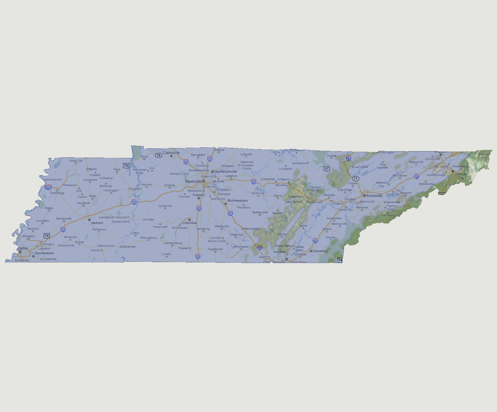
There
is a land strip along the Great Smoky Mountains down the eastern border
of the state. The strip is about 5-10 miles wide. There is a second land
strip to the west of the Tennessee River from Harrogate at the northern
border through Fairfield Glade and down to Red Bank/Jasper. There are
a few small islands in between these 2 land strips.
NOTE: The highest tsunami recorded was 1720 feet in Lituya Bay, Alaska.
© 2012