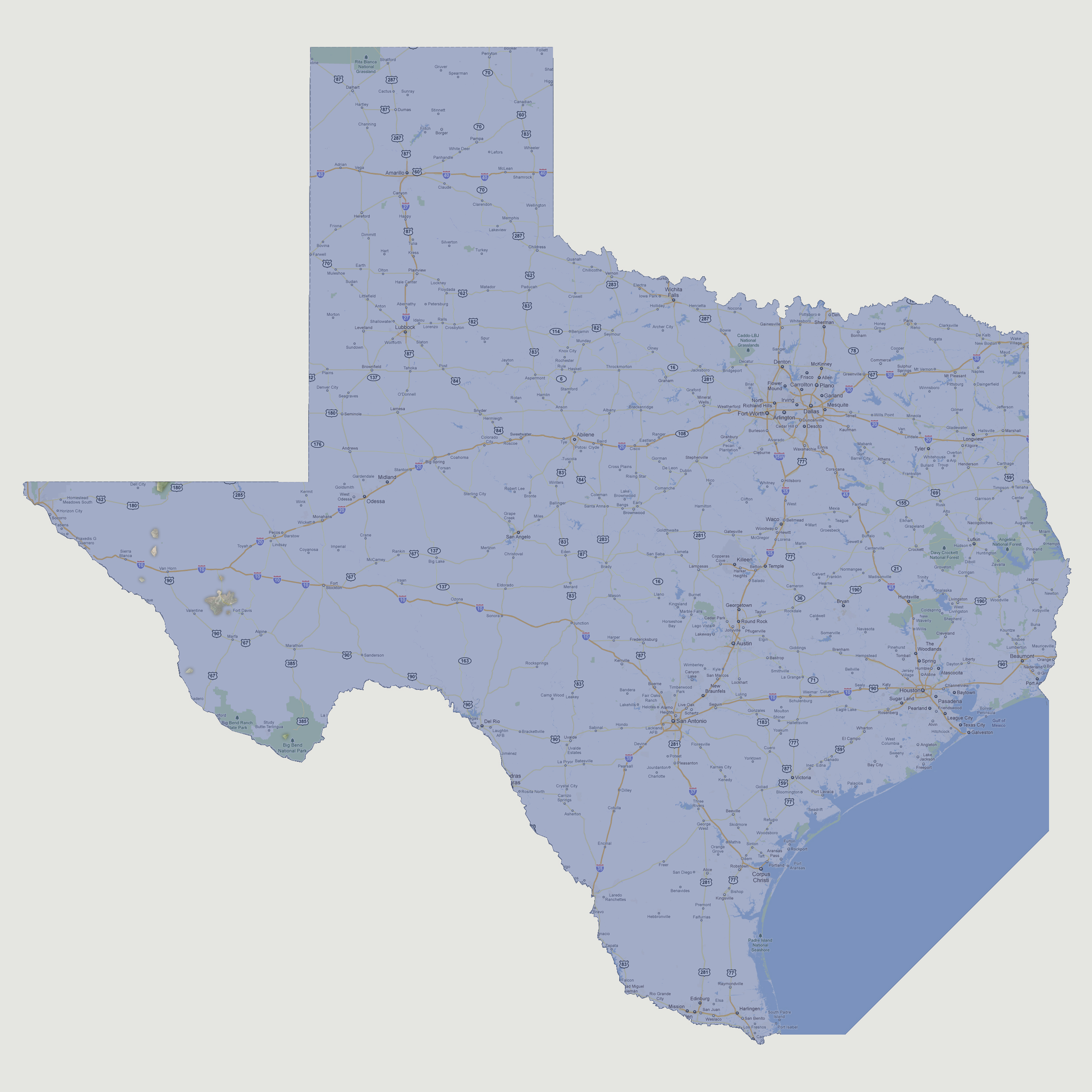

Texas
- 6,000 feet
Only
a couple of 100 square mile islands and 5-6 10 square mile islands are
visible above sea level. These are all in the western portion of the state;
the largest is west of Fort Davis. The highest point in Texas is Guadalupe
Peak in the Brokeoff Mountains at 8,749 feet above sea level.
© 2012