Wisconsin
- 1800 feet
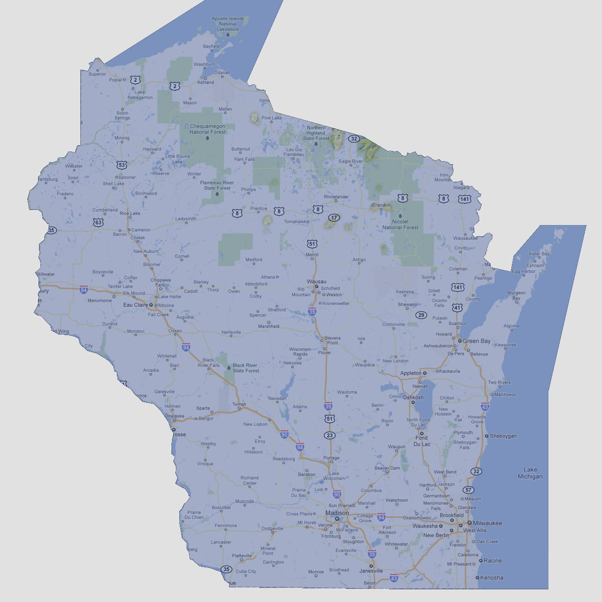
Wisconsin
is now a dozen small islands in the northern portion of the state. The
largest island is about 30 square miles. At 1,952 feet above sea level,
Timms Hill is the highest point in Wisconsin.
NOTE: The highest tsunami recorded was 1720 feet in Lituya Bay, Alaska.
© 2012