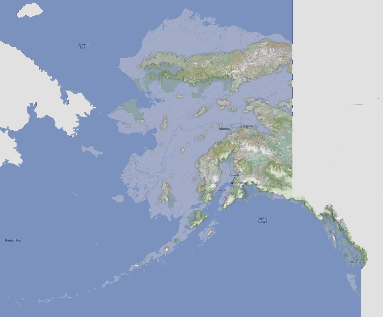
Alaska
- 1800 feet
Water
would now be reaching Canada through the center of Alaska creating 2 large
peninsulas of Alaska. These are the higher elevations of the Alaska Range
and Brooks Range. The center of Alaska has about 20 islands. The Aleutian
Islands are all submerged.
NOTE: The highest tsunami recorded was 1720 feet in Lituya Bay, Alaska.
To use the map above, select the ocean level rise you would like to view, use the plus and minus keys on the keyboard or the mousewheel to zoom in and out. Click and drag on the map to change the viewing location.
© 2012