Kansas
- 1800 feet
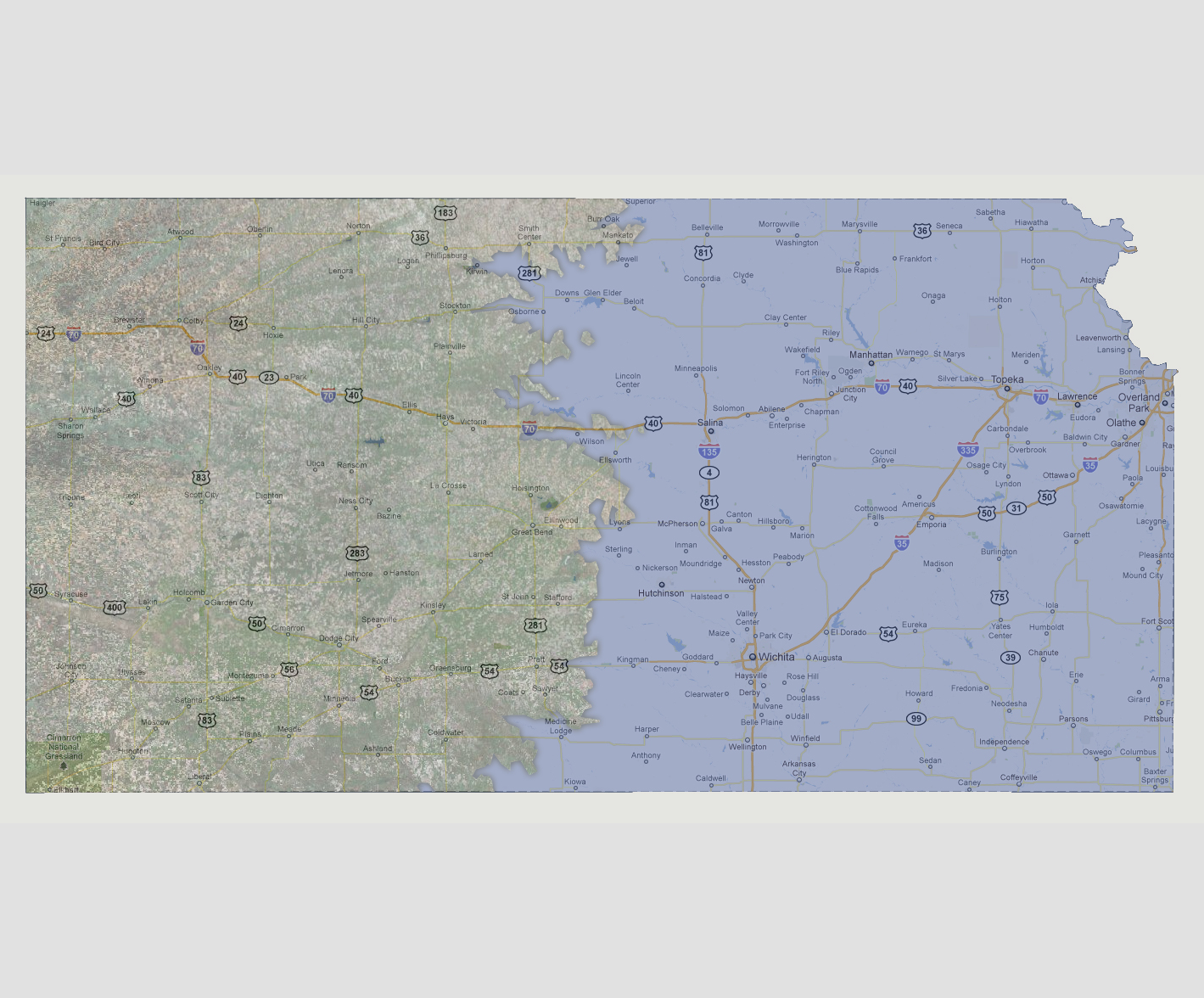
Fifty
percent of Kansas is now underwater, mainly the eastern half. The shoreline
is drawn about 50 miles west of Interstate 135/Route 81. Wichita, Salina
and Hutchinson are added to the list of cities underwater.
NOTE: The highest tsunami recorded was 1720 feet in Lituya Bay, Alaska.
© 2012