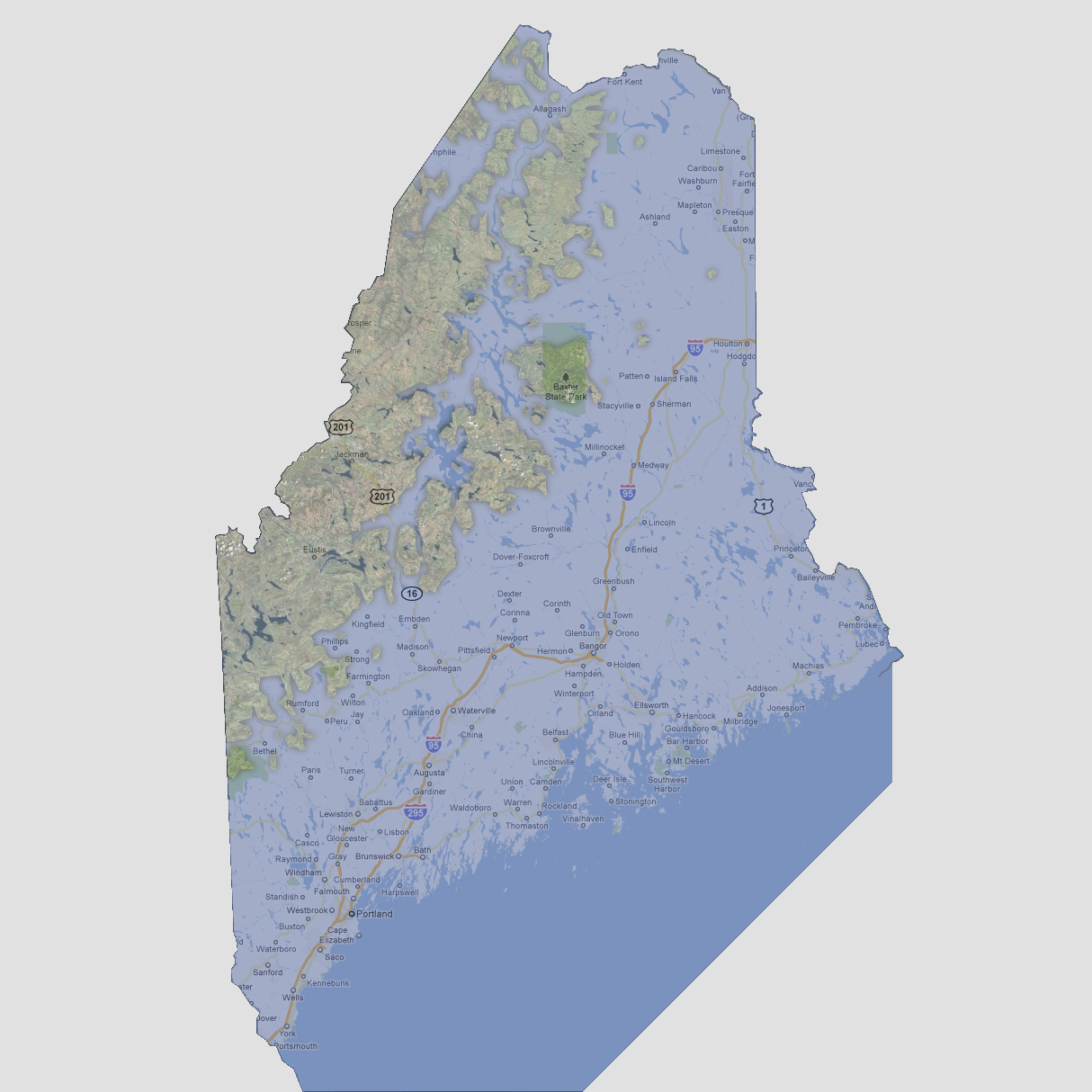
large image

Maine - 1200 feet
The water now reaches the Canadian border at the northern point of Maine. Baxter State Park has become an island and most of the state is underwater except some of the higher, mountain regions in the northwest.

Select Sea Level Rise (in feet):
To use the map above, select the ocean level rise you would like to view, use the plus and minus keys on the keyboard or the mousewheel to zoom in and out. Click and drag on the map to change the viewing location.

© 2012