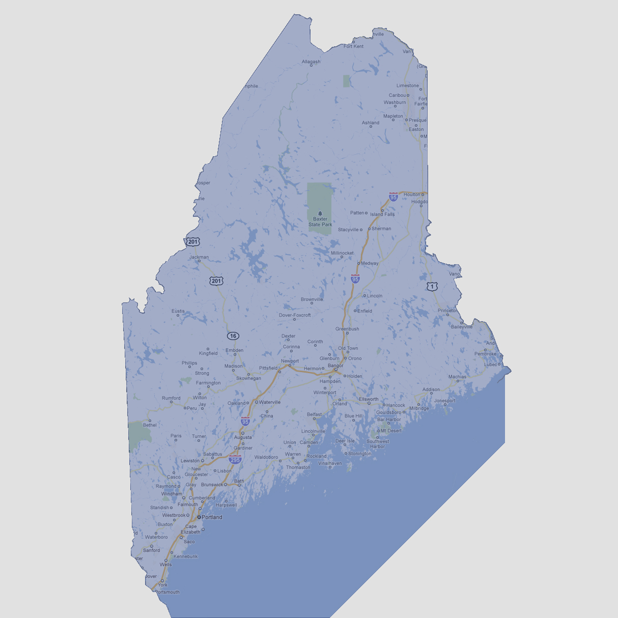
large image

Maine - 4,500 feet
Maine’s highest elevated point is Mount Katahdin in Baxter State Park at 5,268 feet. At 4500 feet of sea level rise, that would be the only visible point of Maine.

Select Sea Level Rise (in feet):
To use the map above, select the ocean level rise you would like to view, use the plus and minus keys on the keyboard or the mousewheel to zoom in and out. Click and drag on the map to change the viewing location.

© 2012