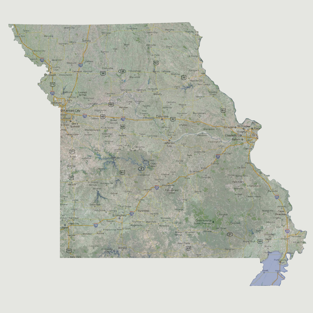
large image

Missouri - 300 feet
As the Mississippi River floods its banks, it will start by affecting the southern tip of Missouri up to Maiden. The higher areas in Portageville would be on a slender peninsula.

Select Sea Level Rise (in feet):
To use the map above, select the ocean level rise you would like to view, use the plus and minus keys on the keyboard or the mousewheel to zoom in and out. Click and drag on the map to change the viewing location.

© 2012