Nevada
- 1200 feet
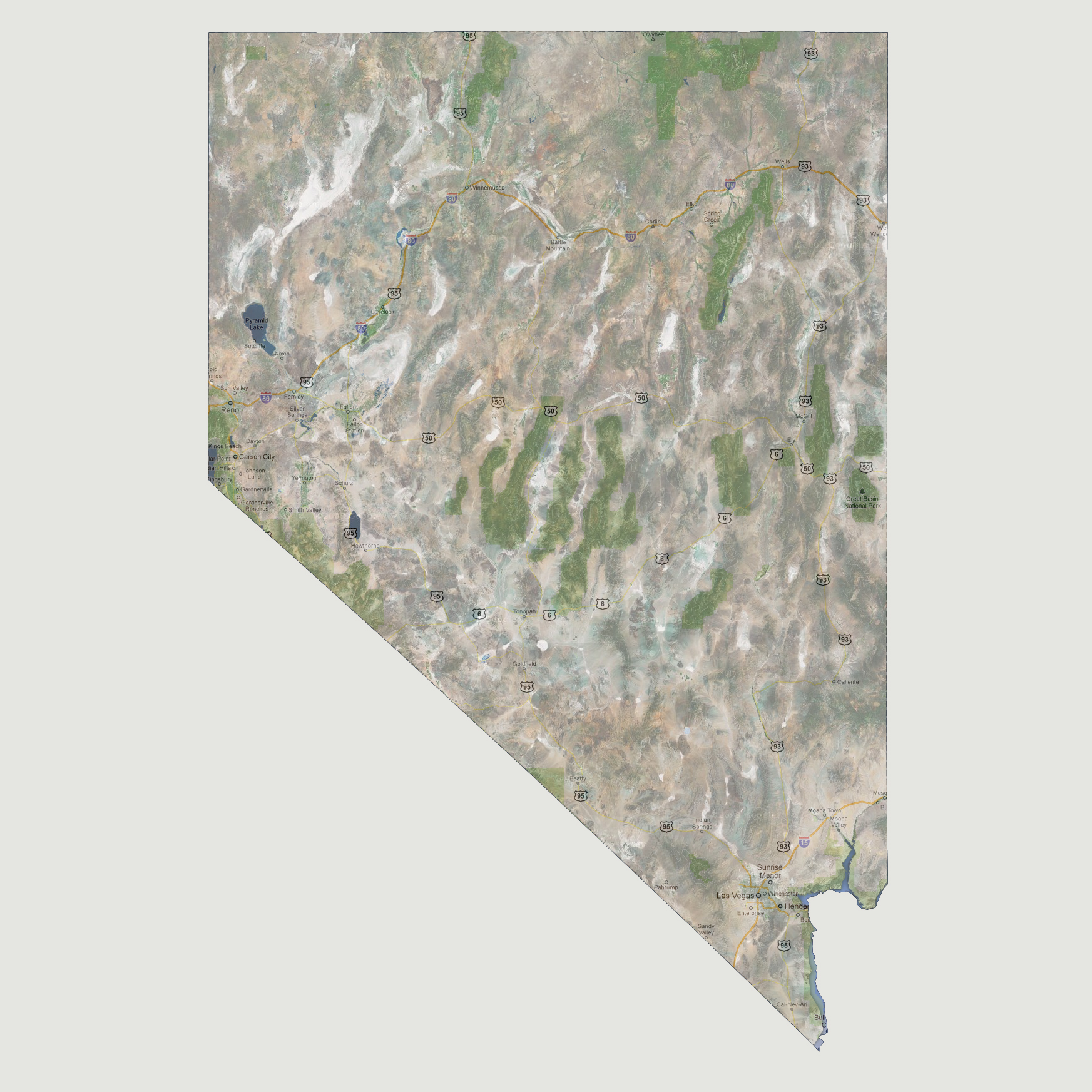
The
lowest point in Nevada is 479 feet above sea level at the California border
along the Colorado River. At 1,200 feet of sea level rise, the only affected
areas would be the southern tip of the state along the Colorado River.
The Hoover Dam has a high-water line at 1,229 feet above sea level (Lake
Mead’s height) so at this point, the whole Colorado River south
of the Hoover Dam (downstream) would be at the same height as the Lake
the Hoover Dam is holding back. Now that would be a powerful, not to mention
scary, sight to see.
© 2012