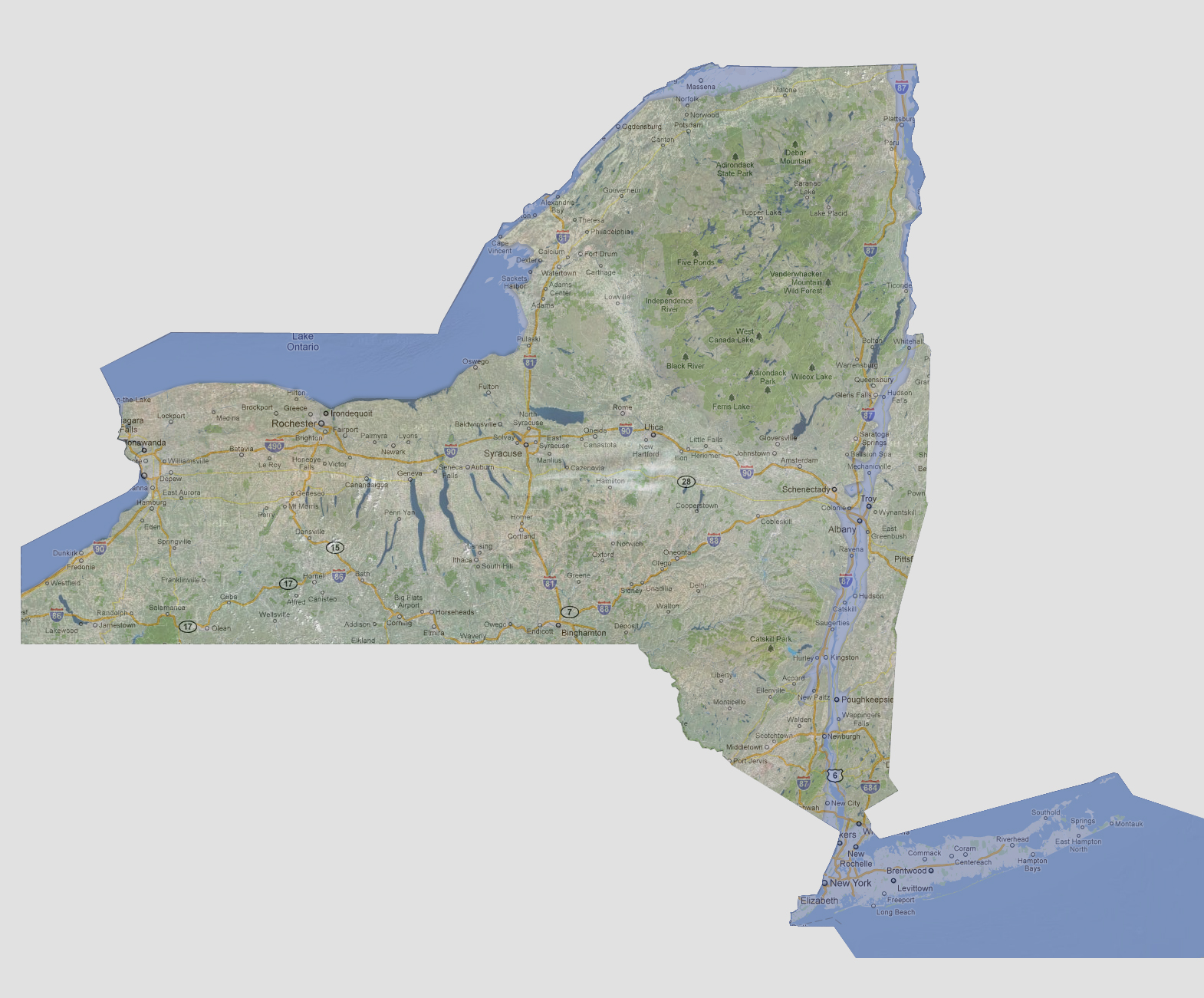

New
York - 300 feet
All
of Long Island is now underwater. Up the Hudson River, further expansion
on the east and west banks and further north would ensue. This would cause
flooding of areas such as Poughkeepsie, Kingston, Hudson, Troy and riverside
areas all the way to Lake Champlain. If this is slower sea level rise,
you could see some further bank flooding along Lake Ontario.
© 2012