Pennsylvania
- 600 feet
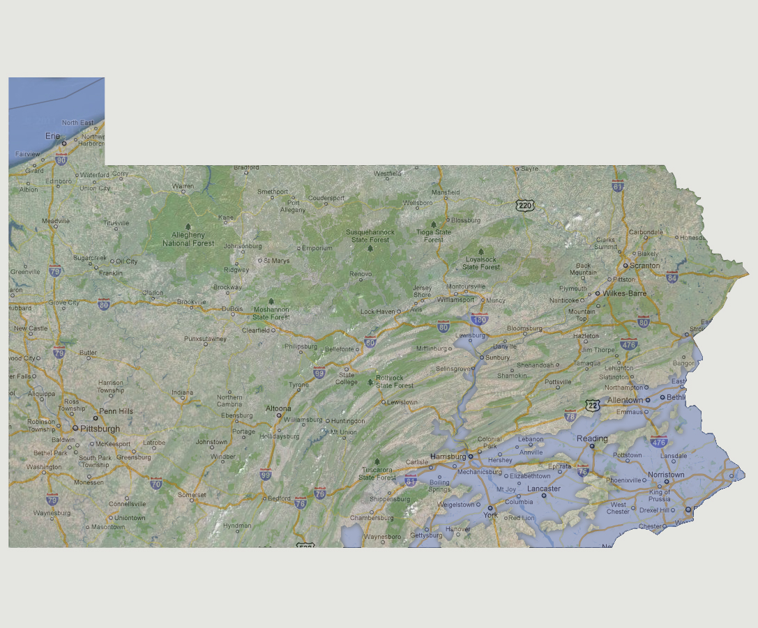
Portions
of Reading that were not underwater would form one of a number of islands
in the southeast portion of the state. Towns such as the state capital
Harrisburg, Allentown, Gettysburg and York would be inundated with Interstate
78 being the flood line. The Susquehanna River would be breaking its banks
as far north as Lewisburg and almost to Muncy.
© 2012