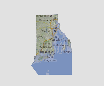
Rhode
Island - 150 feet
Greenwich
and Hope Bays have combined to form one large bay inundating about 50%
of Rhode Island. The majority of Rhode Island’s largest towns are
underwater and include the capital city of Providence, Cranston, Warwick,
Bristol, Portsmouth, Westerly and most of North and South Kingstown.
© 2012