Rhode
Island - 600 feet
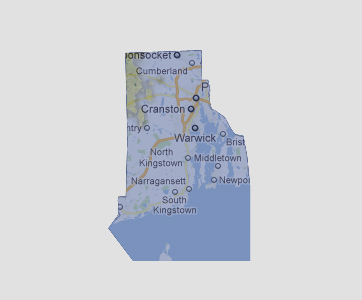
Only
a small land mass in the north western portion of the state is still above
sea level. This area is mostly state forest which includes Jerimoth Hill
which is the highest elevation in the state at 812 feet above sea level.
© 2012