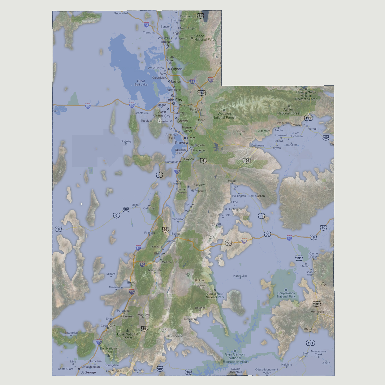
Utah
- 6,000 feet
At
6,000, the land mass left above sea level has become a large peninsula
down the center starting to the north at the Cache National Forest, the
Ashley National Forest and ending to the south with most of the Dixie
National Forest above water. Interstate 15 is the shoreline to the west
of the peninsula and is mostly underwater. The Roosevelt area is a large
ocean fed lake covering much of Route 40. The Canyonlands National Park
is also underwater.
© 2012