West
Virginia - Current Level to 300 feet
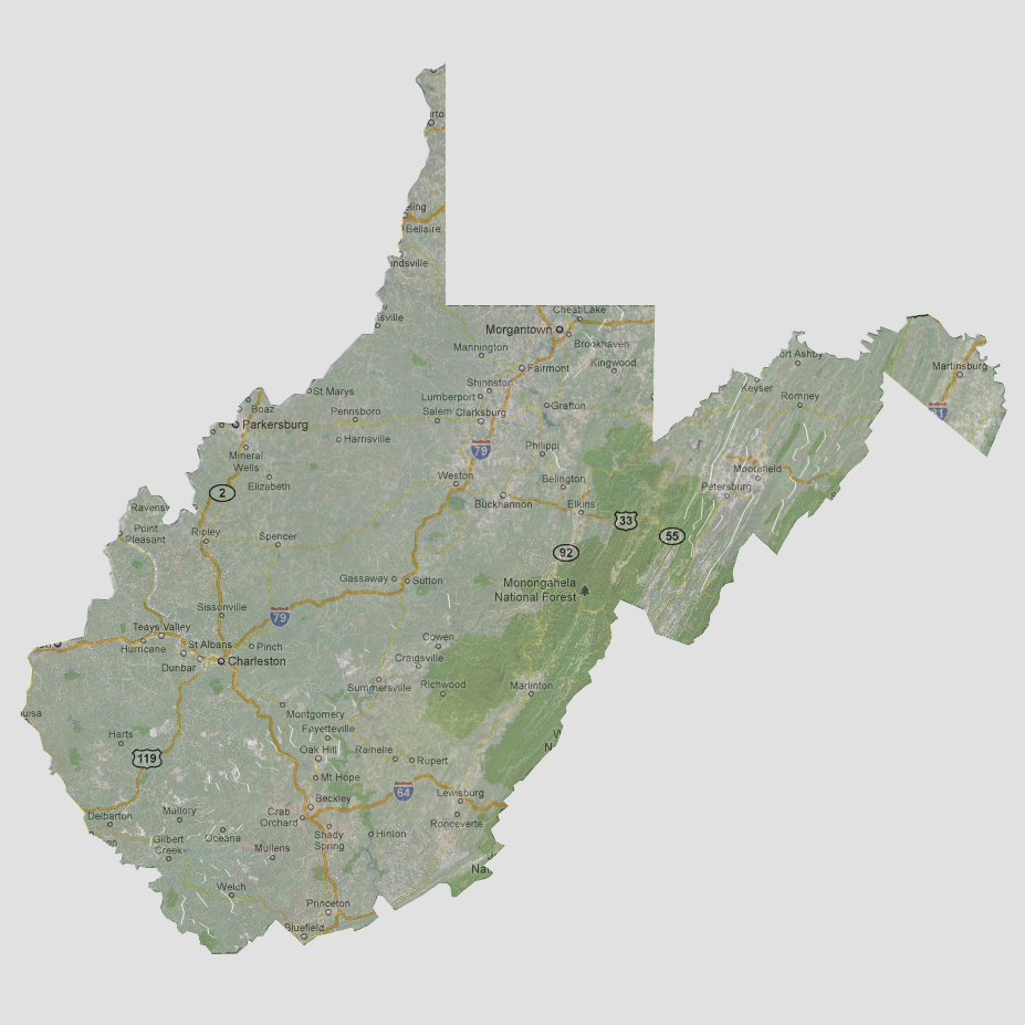
Nestled
behind the Blue Ridge Mountains from the Atlantic Ocean, West Virginia
is much less susceptible to tidal surges or massive flooding. It is not
until 240 feet of sea level rise that it would affect West Virginia and
that would be along the Potomac River in the eastern most portion of the
state.
© 2012