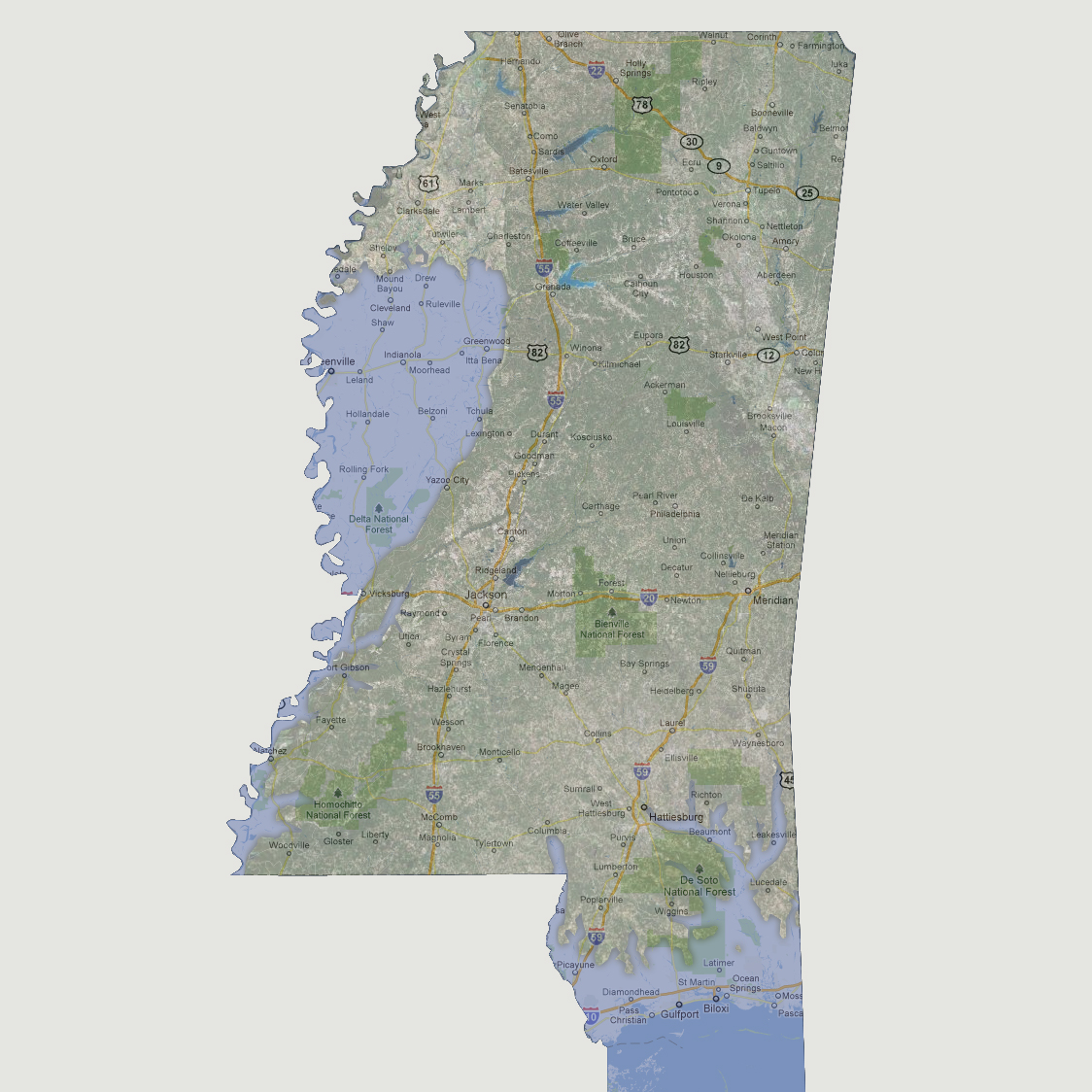
Mississippi
- 150 feet
The
impact at this level would be felt along the Mississippi River and the
Gulf coastal region. In the Gulf, inland flooding of the low lying areas
would be seen including portions of the De Soto National Forest, rivers
forming up to Columbia, Hattiesburg and Waynesboro. Along the Mississippi
River, the southern portion would see localized flooding along the river
banks. The areas north of Vicksburg up to Shelby would see greater inland
flooding which would be as far inland as Greenwood, Tchula and Yazoo City
(basically from Yazoo River west).
© 2012