Mississippi
- 300 feet
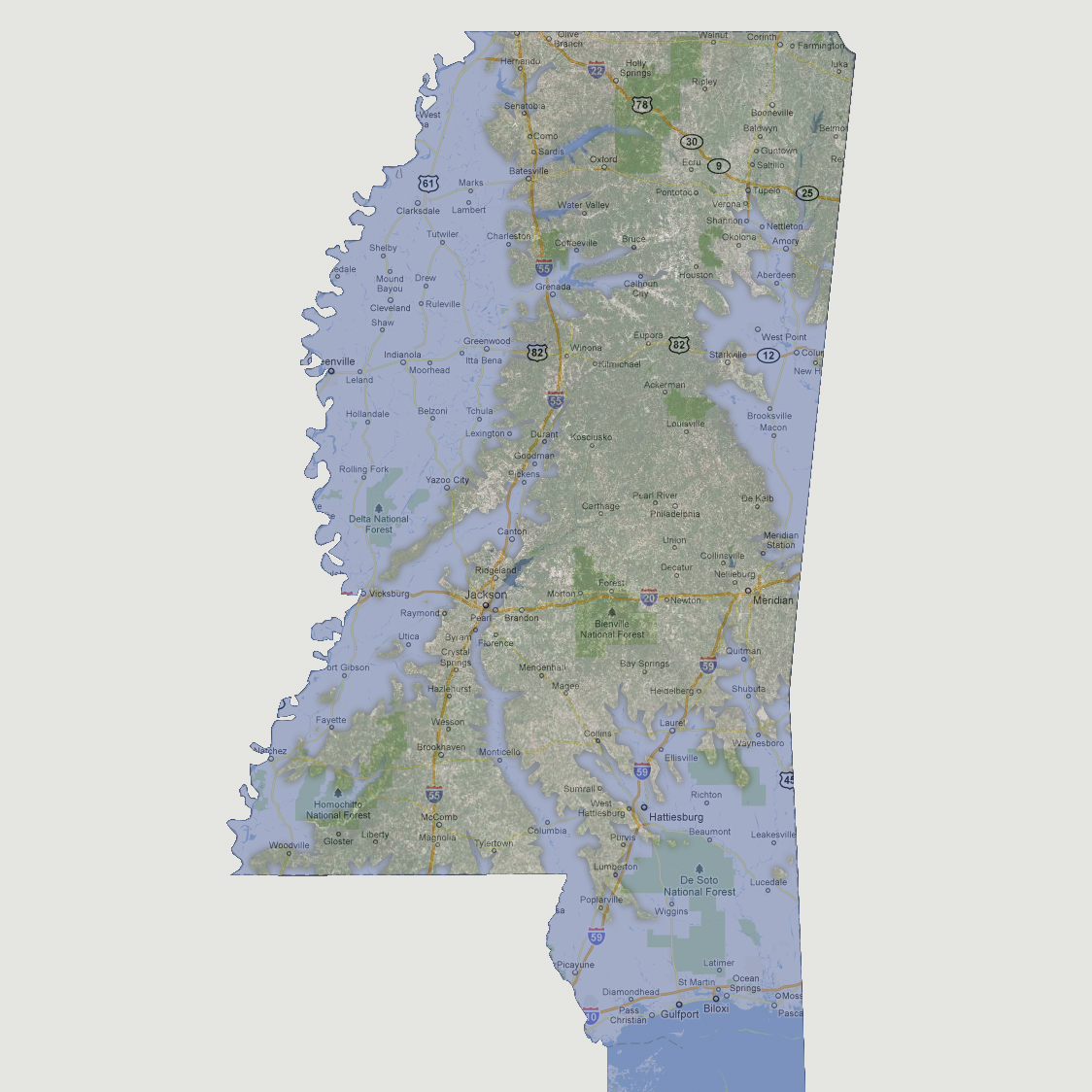
The
Mississippi River floods farther inland with Interstate 55, still mostly
above water, marking the coastline. The Pearl River is breaking its banks
as far north as Ridgeland inundating most of the state capital of Jackson.
The Gulf coastline is now crossing sections of Interstate 59 almost to
Meridian. The Tombigbee River in northeastern Mississippi is also causing
massive flooding through Macon, West Point up to Tupelo, almost converging
with the Mississippi River.
© 2012