New
Mexico - Current Level to 1800 feet
Being
far enough away from any coastal regions, New Mexico is not as susceptible
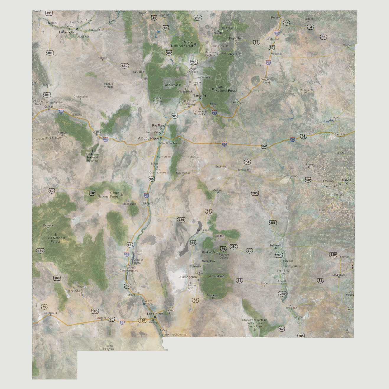
to tidal surges or massive coastal flooding. Also, New Mexico’s
lowest point is 2840 feet above sea level on the Texas border, making
the chances sea levels would get high enough to enter the state almost
non-existent. If there was a slow sea level rise that allowed water to
make its way into New Mexico, the affects would start on the Pecos River
at the states southern border.
NOTE: The highest tsunami recorded was 1720 feet in Lituya Bay, Alaska.
© 2012