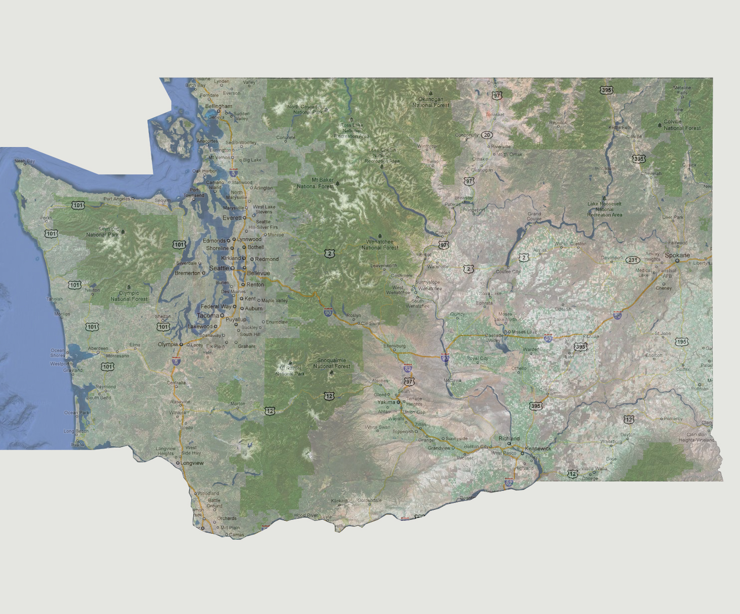
Washington
- Current Level
Tsunami
impacts from water disturbing events on the Pacific Ocean such as landslides
(above and underwater), volcanic eruptions, earthquakes and meteor impacts
are all possibilities. With the Ring of Fire wrapping the Pacific plate,
the chances are much higher that volcanic eruptions and/or earthquake
activity will create large waves on the West coast of the US. As an example,
a large earthquake on the Cascadia fault occurs once every 300-1000 years.
On January 26, 1700, a rupture of the entire fault occurred and caused
a tsunami that impacted Hawaii, Japan and Australia. It has been 312 years
since the last fault rupture at this location and there are many like
it surrounding the Pacific plate.
Washington, bordering the Pacific Ocean, is particularly vulnerable if
a large tsunami hit the west coast and flooded inland. The series can
also be used to see how Washington would be impacted by global sea level
rise.
© 2012