Washington
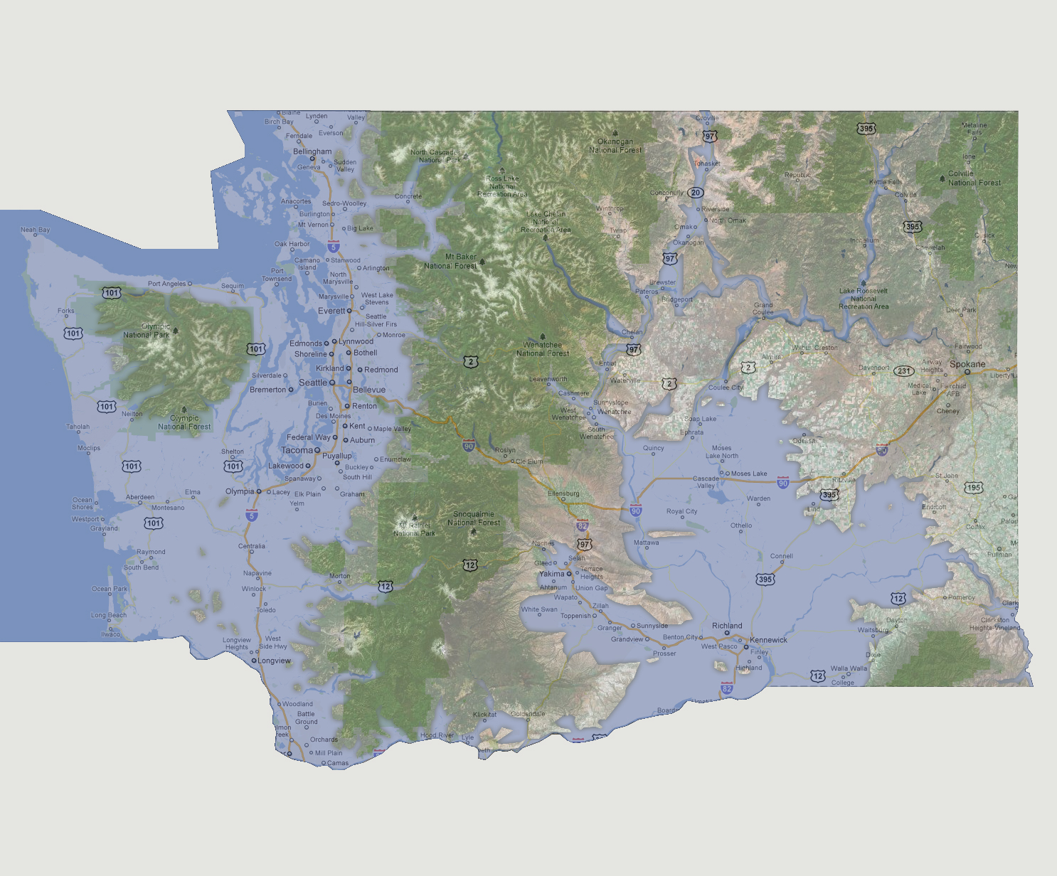
- 1800 feet
Most
major roadways and cities are now underwater. The visible land masses
that make up Washington are the Olympic National Forest island, a string
of national forests down the center of the state, the northeastern portion
of the state which includes the city of Spokane and the northern tip of
the Whitman National Forest that enters Washington from Oregan.
NOTE: The highest tsunami recorded was 1720 feet in Lituya Bay, Alaska.
© 2012