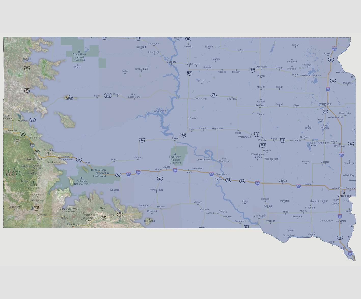
South
Dakota - 3,000 feet
At
3,000 feet above sea level, the only land mass above water is the western
border. This includes Route 85 to Interstate 90 to Rapid City and then
the areas south and west of the Badlands National Park. There are a few
20 square mile islands along the coast.
© 2012