California
- 300 feet
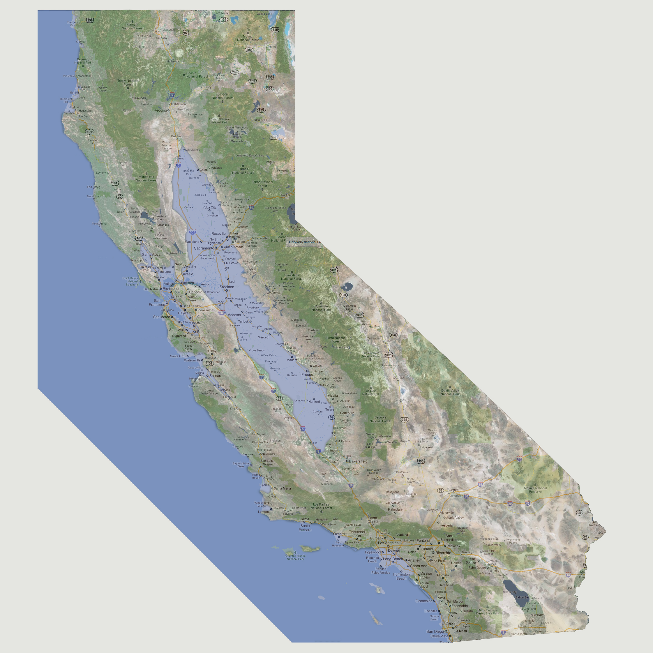
Along
the coastline, there is some further flooding but again, slight. Some
of the areas affected are Fort Bragg, Watsonville, Goleta, Inglewood,
Downey, Anaheim, east side of Santa Maria and southern Los Angeles. The
Salinas River will flow farther inland (south) affecting areas along Route
101 down to King City. The larger issue is the San Joaquin Valley that
is now flooded from waters pressing in from the San Francisco Bay. This
inundates everything in a 30-40 mile wide swath from Los Molinos (north)
to the Lost Hills (south). This includes the cities of Fresno, Stockton
and Sacramento, the state capital.
© 2012