California
- 7,500 feet
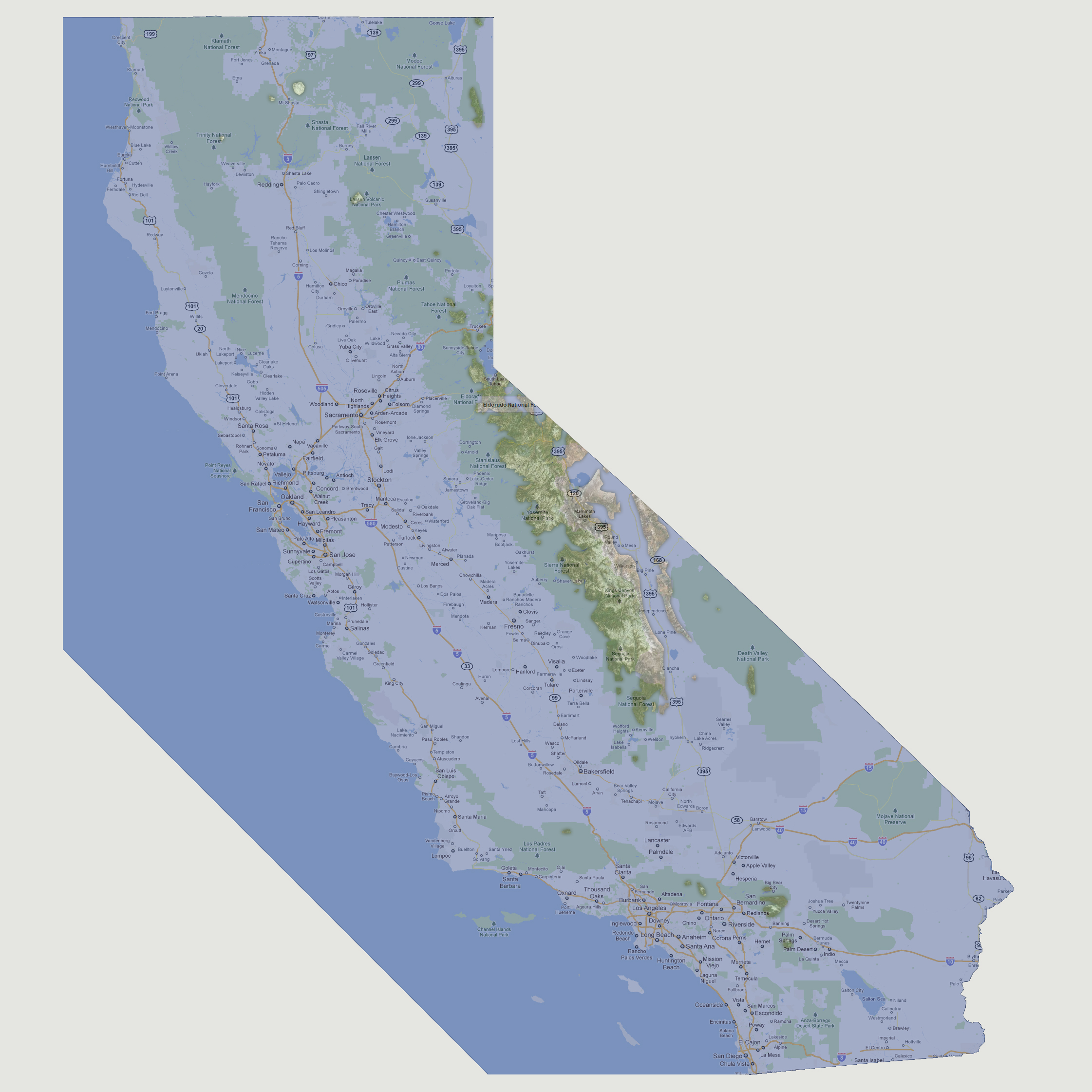
Mount
Shasta is the largest visible land mass in the northern regions of the
state taking up approximately 25 square miles. The Sierra Nevada’s
are still the largest land mass overall running from Eldorado National
Forest down to Sequoia National Forest. To the south, the San Bernardino
area is now a 20 square mile island.
© 2012